11+ Scale Drawings and Maps: Distances and Worked Answers
Convert map measurements to real distances and back, interpret ratio scales and check units with eight original explained questions.
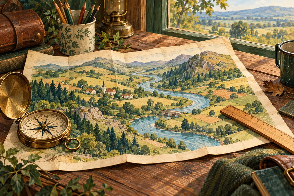
A line on a plan represents a real length. The scale tells you how the two lengths connect. The most common setup error is to read a ratio as though its two sides used different units.
These original explanations and questions support preparation for 11-plus exams taken in 2027. They are not official papers or a complete school syllabus. Check your target school’s current guidance. Try each question before opening the worked answer.
Read both sides in the same unit
A scale of 1:20,000 means one centimetre on the map represents 20,000 centimetres on the ground. That is 200 metres, not 20,000 metres. Since 100 cm = 1 m and 1,000 m = 1 km, there are 100,000 cm in a kilometre.
| Scale | Ground length for 1 cm on paper |
|---|---|
| 1:100 | 1 metre |
| 1:20,000 | 200 metres |
| 1:50,000 | 500 metres |
A word scale such as “1 cm represents 3 m” already gives different named units. You can use it directly: 7 cm represents 21 m. If asked for a ratio scale, convert 3 m to 300 cm first, giving 1:300. Always label whether a length is on the drawing or in reality.
Work forwards and backwards
On a 1:20,000 map, a measured path of 6.5 cm represents 6.5 × 200 m = 1,300 m, or 1.3 km. To draw a real 900 m path at that scale, divide 900 by 200: the drawing length is 4.5 cm. Multiplying enlarges paper distances to reality; dividing reverses the relationship.
A plan at 1:50 shows a room as 8 cm by 6 cm. Its real dimensions are 400 cm by 300 cm, or 4 m by 3 m. The real floor area is 12 m². Do not multiply a paper area by the length factor only once: area depends on two dimensions. Converting both lengths first is a reliable method.
A measurement must belong to the stated scale
The questions below give all required measurements in words; do not measure your screen. A printed ratio scale applies to the intended printed size. Enlarging a page changes the distance represented by each centimetre. A scale bar can remain useful if it is enlarged by exactly the same factor as the map; use the actual bar rather than an old numerical ratio.
A straight line between two places measures their straight-line separation. A winding route is longer unless it happens to follow that line. Use the measurement asked for and do not silently substitute one for the other. When working from a drawing, check whether it says “not to scale”.
Eight original questions
At 1:10,000, how many metres does 1 cm represent?
Show answer and explanation
100 m
10,000 cm ÷ 100 = 100 m.
At 1:50,000, a route measures 4 cm. Find its real length in kilometres.
Show answer and explanation
2 km
4 × 50,000 cm = 200,000 cm = 2 km.
At 1:25,000, a route measures 6 cm. Find its real length in kilometres.
Show answer and explanation
1.5 km
Each centimetre represents 250 m; 6 × 250 = 1,500 m.
A plan uses 1 cm for 2 m. A wall measures 7.5 cm on the plan. Find its real length.
Show answer and explanation
15 m
7.5 × 2 = 15.
At 1:200, how long should a real 12 m wall be drawn, in centimetres?
Show answer and explanation
6 cm
12 m = 1,200 cm; divide by 200.
Write “1 cm represents 5 m” as a ratio scale.
Show answer and explanation
1:500
5 m = 500 cm, so both sides use centimetres.
At 1:100, a rectangular room measures 5 cm by 4 cm on paper. Find its real area.
Show answer and explanation
20 m²
Real lengths are 5 m and 4 m; multiply them.
A map originally has scale 1:50,000. It is printed at twice the original linear size. What is its new ratio scale?
Show answer and explanation
1:25,000
Each new centimetre covers half as much ground; halve the denominator.
Check with a one-unit benchmark
Write what one paper centimetre represents before calculating the full distance. Then reverse the answer to recover the stated measurement. For area, recover the two lengths rather than treating square metres like metres. Report the requested unit, not only a bare number.
Review unit conversions and area and perimeter. Return to the Maths hub or choose original practice.
The Ordnance Survey scale guide explains real map-scale conventions.
Sources and scope
The DfE programme of study provides a curriculum foundation, not a prediction of a school’s paper. All examples here are original. No official affiliation or educator endorsement is implied.
Ready to practise?
Choose original practice and use the answer explanations to decide what to work on next. These are not official school papers.
Keep reading
More guides relevant to this topic.